LIVE · updated
Fires Near Seattle, WA

Live wildfire tracking around Seattle: every active fire within 300 miles with distance, size, containment, wind, smoke, and air quality, from official US sources.
Stay aware
Live risk assessment for Seattle, WA
Fire activity exists in the wider area but poses no immediate threat to this location. Check back daily while fires remain active.
- Wind at the Grand Park 2 fire (53 mi away) is blowing 12 mph NW, roughly toward your location.
Evacuation status: no active zones
No evacuation order or warning covers Seattle, WA in the official live feed, and none of the feeds we monitor show an active zone within 50 miles. Live zone status comes from King County Emergency Management, refreshed every 5 minutes. Live coverage here applies to King County; neighboring counties post notices through their own official channels. Counties assign a zone code to an address only when they activate a zone, so a quiet area has no code to show; if one is ever issued for this location, it appears here immediately.
House pin: Seattle, WA. Bold outline: Seattle city limits. Dashed rings show distance from the city center. Red or amber shaded zones are active evacuation areas.
Evacuation feed coverage in Washington
Every active zone in Washington →Evacuation orders and warnings issued here appear on FireNearby within minutes and trigger our alerts.
Orders and warnings in the 34 counties without a feed will not appear on FireNearby. If you live in one, follow that county's official emergency channels.
- Adams
- Asotin
- Benton
- Clallam
- Clark
- Columbia
- Cowlitz
- Douglas
- Ferry
- Franklin
- Garfield
- Grant
- Grays Harbor
- Island
- Jefferson
- Kitsap
- Kittitas
- Klickitat
- Lewis
- Lincoln
- Mason
- Okanogan
- Pacific
- Pend Oreille
- Pierce
- San Juan
- Skagit
- Skamania
- Snohomish
- Thurston
- Wahkiakum
- Walla Walla
- Whatcom
- Whitman
- Chelan
- King
- Spokane
- Stevens
- Yakima
5 official sources, checked every 5 minutes
- SREC 911 (Spokane County)
- Stevens County Emergency Management
- King County Emergency Management
- Chelan County Emergency Management
- Yakima County Emergency Management
Is there a fire near me?
Enter any US or Canadian address or town for an instant risk report: nearby fires, wind, smoke, air quality, and evacuation alerts.
Fires by distance
This season vs the last decade
24% of an average yearSo far in 2026, 3 acres have burned within 25 miles of Seattle, 24% of the 12 acres burned in an average full year from 2016 to 2025.
Source: NIFC interagency incident reports, all agencies. Counts fires that started within 25 miles, at their full size.
Active fires near Seattle, WA
Every active fire within 300 miles, closest first.
- 95%King FireKittitas, WA3,427 acres51 mi away33 hours ago
- 95%Three Queens FireKittitas, WA9,575 acres52 mi away32 hours ago
- 100%Grand Park 2 FirePierce, WA168 acres53 mi away13 days ago
- 100%Goat FireKittitas, WA815 acres60 mi away14 days ago
- -River FireClallam, WA0.1 acres63 mi away32 hours ago
- -Gamma Creek FireSnohomish, WA29 acres71 mi away8 days ago
- 100%Little Giant FireChelan, WA172,912 acres74 mi away3 days ago
- 100%Electric FireWhatcom, WA495 acres83 mi away14 days ago
- 90%Sisi FireChelan, WA4,816 acres86 mi away23 hours ago
- -V62262 FireBC833 acres90 mi away42 days ago
| Fire | State | County | Distance | Size | Contained | Updated |
|---|---|---|---|---|---|---|
| King Fire | WA | Kittitas | 51 mi | 3,427 acres | 95% | 33 hours ago |
| Three Queens Fire | WA | Kittitas | 52 mi | 9,575 acres | 95% | 32 hours ago |
| Grand Park 2 Fire | WA | Pierce | 53 mi | 168 acres | 100% | 13 days ago |
| Goat Fire | WA | Kittitas | 60 mi | 815 acres | 100% | 14 days ago |
| River Fire | WA | Clallam | 63 mi | 0.1 acres | - | 32 hours ago |
| Gamma Creek Fire | WA | Snohomish | 71 mi | 29 acres | - | 8 days ago |
| Little Giant Fire | WA | Chelan | 74 mi | 172,912 acres | 100% | 3 days ago |
| Electric Fire | WA | Whatcom | 83 mi | 495 acres | 100% | 14 days ago |
| Sisi Fire | WA | Chelan | 86 mi | 4,816 acres | 90% | 23 hours ago |
| V62262 Fire | BC | - | 90 mi | 833 acres | - | 42 days ago |
Want the whole state? See the live Washington wildfire map →
Get evacuation alerts for Seattle
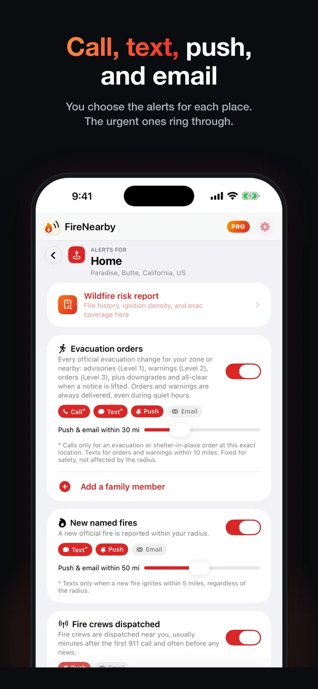
Fire Nearby watches Seattle around the clock and alerts you the moment an official evacuation order covers your address. With Pro, your phone rings, even on silent.
- Evacuation order alerts
- Calls and texts with Pro
- New fires near you

Scan with your iPhone camera
Latest updates on fires near Seattle
Generated automatically from official feeds the moment they change: size, containment, evacuation zones, aircraft, and incident team updates.
Sisi Fire · Containment rose to 90%
23 hours ago · November 10, 2026Three Queens Fire · Containment rose to 95%
32 hours ago · November 9, 2026King Fire · Containment rose to 95%
32 hours ago · November 9, 2026Sisi Fire · Containment rose to 75%
34 hours ago · November 9, 20260494 Akawa Butte Fire · Zone Lake Billy Chinook 2 Red Purple (Jefferson County) downgraded to Level 1 (Get Ready)
45 hours ago · November 9, 20260927 Prospect Fire · Zone Lake Billy Chinook 2 Red Purple (Jefferson County) downgraded to Level 1 (Get Ready)
45 hours ago · November 9, 20260927 Prospect Fire · Grew 43 acres in 4 hours to 243 acres
2 days ago · November 8, 20260927 Prospect Fire · Grew 160 acres in 19 hours to 200 acres
2 days ago · November 8, 20260494 Akawa Butte Fire · Zone Lake Billy Chinook 2 Red Purple (Jefferson County) placed under Level 2 (Get Set)
2 days ago · November 8, 20260927 Prospect Fire · Zone Lake Billy Chinook 2 Red Purple (Jefferson County) placed under Level 2 (Get Set)
2 days ago · November 8, 2026
Historic fires near Seattle
The largest wildfires on record within 100 miles.
Wildfire history near you
How close have major wildfires come to your home in Washington? Search any US or Canadian address to see the largest fires on record nearby, with size, year, and impact, on a radius map.
Emergency resources for Washington
Official channels for evacuation orders, shelters, and emergency alerts. In an immediate emergency, call 911.