LIVE · updated
Fires Near Colorado Springs, CO

Live wildfire tracking around Colorado Springs: every active fire within 300 miles with distance, size, containment, wind, smoke, and air quality, from official US sources.
All clear
Live risk assessment for Colorado Springs, CO
No significant wildfire threat near this location right now.
- No active fires within 50 miles, no fire weather alerts, and clean air right now.
House pin: Colorado Springs, CO. Bold outline: Colorado Springs city limits. Dashed rings show distance from the city center. Red or amber shaded zones are active evacuation areas.
No evacuation feed for this area
Local officials here don't publish evacuation zones to a feed we can monitor, so evacuation orders and warnings for this location won't reliably appear on FireNearby or trigger our evacuation alerts. Check your county sheriff or office of emergency services, local news, and your county's emergency alert sign-up.
Evacuation feed coverage in Colorado
Every active zone in Colorado →This county does not publish evacuation zones to a feed we can monitor, so orders or warnings here will not appear on FireNearby. Follow the county's official emergency channels.
Orders and warnings in the 59 counties without a feed will not appear on FireNearby. If you live in one, follow that county's official emergency channels.
- Adams
- Alamosa
- Arapahoe
- Archuleta
- Baca
- Bent
- Broomfield
- Chaffee
- Cheyenne
- Clear Creek
- Conejos
- Costilla
- Crowley
- Custer
- Delta
- Denver
- Dolores
- Eagle
- El Paso
- Elbert
- Fremont
- Garfield
- Gilpin
- Gunnison
- Hinsdale
- Huerfano
- Jackson
- Jefferson
- Kiowa
- Kit Carson
- La Plata
- Lake
- Las Animas
- Lincoln
- Logan
- Mesa
- Mineral
- Moffat
- Montezuma
- Montrose
- Morgan
- Otero
- Ouray
- Park
- Phillips
- Pitkin
- Prowers
- Pueblo
- Rio Blanco
- Rio Grande
- Saguache
- San Juan
- San Miguel
- Sedgwick
- Summit
- Teller
- Washington
- Weld
- Yuma
- Boulder
- Douglas
- Grand
- Larimer
- Routt
5 official sources, checked every 5 minutes
- Boulder County Emergency Management
- Larimer County Emergency Management
- Routt County Emergency Management
- Grand County Emergency Management
- Douglas County 911
Is there a fire near me?
Enter any US or Canadian address or town for an instant risk report: nearby fires, wind, smoke, air quality, and evacuation alerts.
Fires by distance
This season vs the last decade
152% of an average yearSo far in 2026, 16K acres have burned within 25 miles of Colorado Springs, 152% of the 10K acres burned in an average full year from 2016 to 2025.
Source: NIFC interagency incident reports, all agencies. Counts fires that started within 25 miles, at their full size.
Active fires near Colorado Springs, CO
Every active fire within 300 miles, closest first.
- 96%Aspen Acres FireCuster, CO102,007 acres58 mi away5 days ago
- 92%Willow FireLake, CO7,359 acres91 mi away5 days ago
- 90%Elk FireHinsdale, CO7,257 acres146 mi away31 hours ago
- 100%Beehive FireRio Arriba, NM4,728 acres162 mi away4 days ago
- -Black Mesa Trail Ok FireCimarron, OK-162 mi away34 hours ago
- 92%Gold Mountain FireOuray, CO39,747 acres164 mi away31 hours ago
- 100%P-L Gulch FireRio Blanco, CO1,580 acres196 mi away8 days ago
- -66 Creek FireMora, NM87 acres203 mi away5 days ago
- 100%Keystone FireRio Blanco, CO3,042 acres203 mi away8 days ago
- 100%Ferris FireMontezuma, CO64,881 acres225 mi away19 days ago
| Fire | State | County | Distance | Size | Contained | Updated |
|---|---|---|---|---|---|---|
| Aspen Acres Fire | CO | Custer | 58 mi | 102,007 acres | 96% | 5 days ago |
| Willow Fire | CO | Lake | 91 mi | 7,359 acres | 92% | 5 days ago |
| Elk Fire | CO | Hinsdale | 146 mi | 7,257 acres | 90% | 31 hours ago |
| Beehive Fire | NM | Rio Arriba | 162 mi | 4,728 acres | 100% | 4 days ago |
| Black Mesa Trail Ok Fire | OK | Cimarron | 162 mi | - | - | 34 hours ago |
| Gold Mountain Fire | CO | Ouray | 164 mi | 39,747 acres | 92% | 31 hours ago |
| P-L Gulch Fire | CO | Rio Blanco | 196 mi | 1,580 acres | 100% | 8 days ago |
| 66 Creek Fire | NM | Mora | 203 mi | 87 acres | - | 5 days ago |
| Keystone Fire | CO | Rio Blanco | 203 mi | 3,042 acres | 100% | 8 days ago |
| Ferris Fire | CO | Montezuma | 225 mi | 64,881 acres | 100% | 19 days ago |
Want the whole state? See the live Colorado wildfire map →

Get evacuation alerts for Colorado Springs
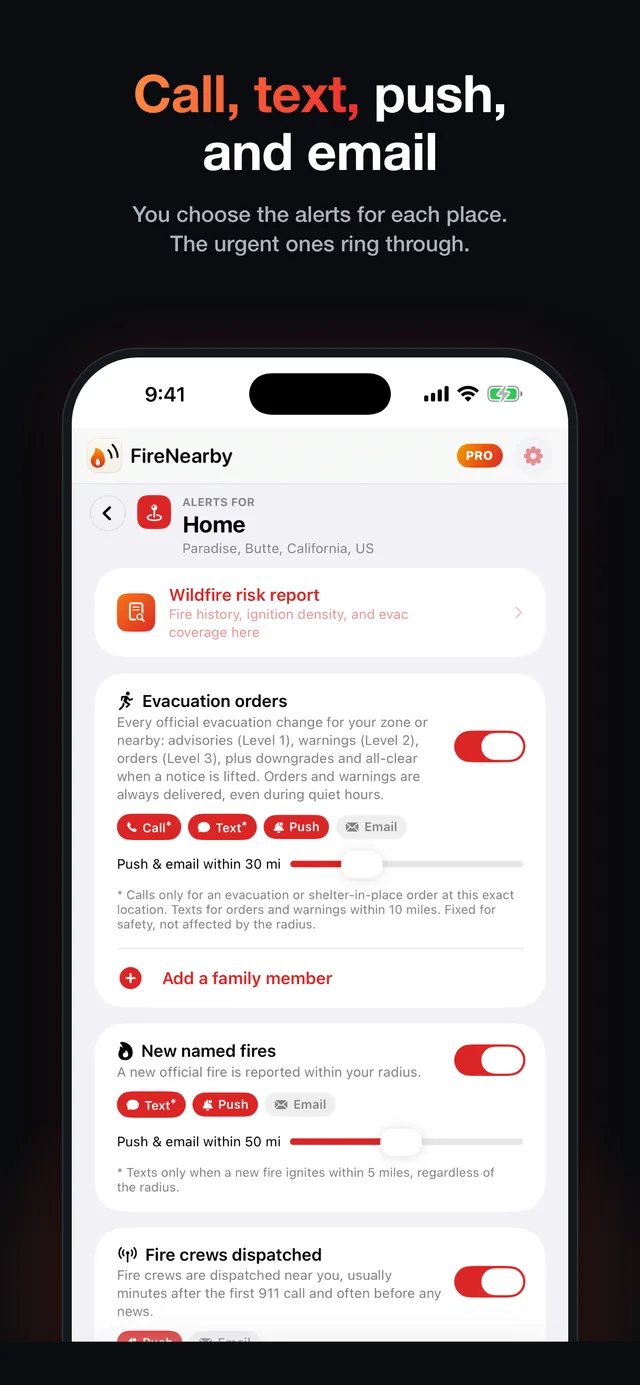
Fire Nearby watches Colorado Springs around the clock and alerts you the moment an official evacuation order covers your address. With Pro, your phone rings, even on silent.
- Evacuation order alerts
- Calls and texts with Pro
- New fires near you

Scan with your iPhone camera
Latest updates on fires near Colorado Springs
Generated automatically from official feeds the moment they change: size, containment, evacuation zones, aircraft, and incident team updates.
Snyder Fire · Grew 1,938 acres in 66 days to 30,202 acres
5 days ago · November 5, 2026Snyder Fire · New perimeter mapped at 18,123 acres (national perimeter feed)
5 days ago · November 5, 2026Slough Canyon Fire · Containment rose to 100%
7 days ago · November 3, 2026Slough Canyon Fire · Fire reported 100% contained
7 days ago · November 3, 2026Ranger Road Fire · New perimeter mapped at 278,899 acres (national perimeter feed)
7 days ago · November 3, 2026Ranger Road Fire · Fire reported 100% contained
7 days ago · November 3, 2026Aspen Acres Fire · Containment rose to 96%
12 days ago · October 29, 2026Ferris Fire · New perimeter mapped at 64,881 acres (national perimeter feed)
19 days ago · October 22, 2026Ferris Fire · Fire reported 100% contained
19 days ago · October 22, 2026Line Fire · New perimeter mapped at 1,202 acres (national perimeter feed)
20 days ago · October 21, 2026
Historic fires near Colorado Springs
The largest wildfires on record within 100 miles.
Wildfire history near you
How close have major wildfires come to your home in Colorado? Search any US or Canadian address to see the largest fires on record nearby, with size, year, and impact, on a radius map.
Emergency resources for Colorado
Official channels for evacuation orders, shelters, and emergency alerts. In an immediate emergency, call 911.