LIVE · updated
Louisiana Wildfires: Live Fire Map

Louisiana
Bold outline: Louisiana boundary. Fires outside the border are in neighboring states.
Evacuation status in Louisiana
Louisiana has no live evacuation feed FireNearby can monitor, so orders and warnings will not appear on this site. Check your parish's official emergency channels and the emergency resources below.
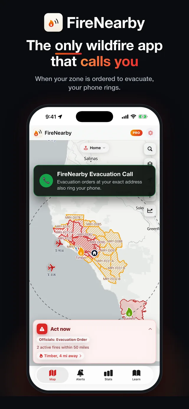
Louisiana wildfire alerts on your iPhone
Save your address for alerts on new fires, rapid growth, red flag warnings, and evacuation orders across Louisiana. With Pro, Fire Nearby calls your phone when an order covers your address.
- Evacuation order alerts
- Calls and texts with Pro
- Lock Screen tracking

Scan with your iPhone camera
Is there a fire near me?
Enter any US or Canadian address or town for an instant risk report: nearby fires, wind, smoke, air quality, and evacuation alerts.
This season vs the last decade
179% of normal for Nov 10So far in 2026, 22K acres have burned in Louisiana, 179% of the 12K acres an average year from 2016 to 2025 had burned by Nov 10. A full average year burned 13K acres.
Source: NIFC interagency incident reports, all agencies. Fires that cross a state line are split by their mapped perimeter.
Active fires in Louisiana
- 100%South Line FireCameron5,500 acres7 days ago
- 100%Drakes Creek FireVernon349 acres11 days ago
- 100%Mt. Ziliah FireBienville150 acres19 days ago
- -Iua Forty Eight Range 2 Zh 1 FireVernon15 acres8 days ago
- -Big Branch FireVernon8.0 acres13 hours ago
- -Boggu Bayou FireRapides0.0 acres4 days ago
| Fire | County | Size | Contained | Updated |
|---|---|---|---|---|
| South Line Fire | Cameron | 5,500 acres | 100% | 7 days ago |
| Drakes Creek Fire | Vernon | 349 acres | 100% | 11 days ago |
| Mt. Ziliah Fire | Bienville | 150 acres | 100% | 19 days ago |
| Iua Forty Eight Range 2 Zh 1 Fire | Vernon | 15 acres | - | 8 days ago |
| Big Branch Fire | Vernon | 8.0 acres | - | 13 hours ago |
| Boggu Bayou Fire | Rapides | 0.0 acres | - | 4 days ago |
Latest fire updates in Louisiana
Generated automatically from official feeds the moment they change: size, containment, evacuation zones, aircraft, and incident team updates.
South Line Fire · Fire reported 100% contained
7 days ago · November 3, 2026Drakes Creek Fire · Fire reported 100% contained
11 days ago · October 30, 2026Drakes Creek Fire · Now mapped at 349 acres
11 days ago · October 30, 2026Drakes Creek Fire · New perimeter mapped at 20 acres (national perimeter feed)
12 days ago · October 29, 2026Mt. Ziliah Fire · Red Flag Warning in effect for the fire area
25 days ago · October 16, 2026Mt. Ziliah Fire · Red Flag Warning in effect for the fire area
25 days ago · October 16, 2026Mt. Ziliah Fire · Red Flag Warning in effect for the fire area
25 days ago · October 16, 2026Mt. Ziliah Fire · Red Flag Warning in effect for the fire area
25 days ago · October 16, 2026Mt. Ziliah Fire · Fire reported 100% contained
41 days ago · September 30, 2026Mt. Ziliah Fire · Now mapped at 150 acres
41 days ago · September 30, 2026
Wildfire history in Louisiana
All reported wildfires since 2014, NIFC interagency records.
From 228 fires with federal ICS-209 reports. Source: ICS-209-PLUS (St. Denis et al.).
July and August account for 57% of the acreage burned in Louisiana in an average year, based on NIFC interagency records.
Over the last five years, Louisiana averaged 22K acres burned and 110 fires per year. That is 150% up in acreage and 102% up in fire count versus the 2014–2021 baseline. Fire activity here is clearly intensifying.
Wildfire history near you
How close have major wildfires come to your home in Louisiana? Search any US or Canadian address to see the largest fires on record nearby, with size, year, and impact, on a radius map.
Largest fires on record in Louisiana
- Unit 4-05-01200512,154 acres
- Sisters Complex20019,000 acres
- Pintail20148,874 acres
- Sac A Lait20197,433 acres
- Cottonmouth20166,385 acres
Emergency resources for Louisiana
Official channels for evacuation orders, shelters, and emergency alerts. In an immediate emergency, call 911.