Sand Prairie Fire
Active
Lane County, Oregon · Discovered August 26, 2026
Source: NIFC/IRWIN (interagency) · Last upstream update 29 hours ago
Sand Prairie Fire
The Sand Prairie Fire fire has burned 80 acres in Lane County, Oregon. Officials have not reported a containment figure yet. It has shown no measurable growth in the last 24 hours. Air quality near the fire is good (AQI 8).

Follow the Sand Prairie Fire from your Lock Screen
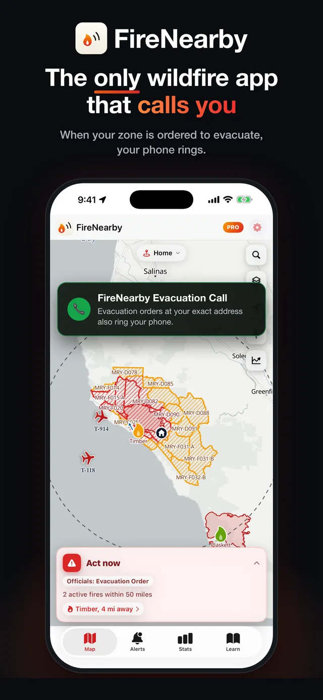
Track the Sand Prairie Fire with a Live Activity, see size and containment change as officials report it, and get alerted if an evacuation order reaches your address.
- Lock Screen tracking
- Evacuation order alerts
- Live perimeter map

Scan with your iPhone camera
Is there a fire near me?
Enter any US or Canadian address or town for an instant risk report: nearby fires, wind, smoke, air quality, and evacuation alerts.
Incident timeline
Generated automatically from official feeds the moment they change: size, containment, evacuation zones, aircraft, and incident team updates.
Now mapped at 80 acres
45 days ago · August 27, 2026Fire first listed in official incident feeds
45 days ago · August 26, 2026
Raw growth & containment readings
| Recorded | Size | Contained |
|---|---|---|
| 8/27/2026, 1:22:49 AM | 80 acres | - |
| 8/26/2026, 11:15:28 PM | 3.0 acres | - |
| 8/26/2026, 9:20:05 PM | 0.2 acres | - |
Recorded by Fire Nearby each time upstream data changes.
About this data
Fire Nearby aggregates official incident data and shows exactly when each value was last updated. For evacuation decisions, always follow instructions from local emergency officials and check county emergency management channels.